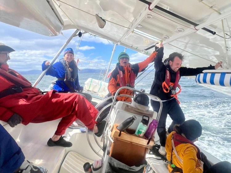
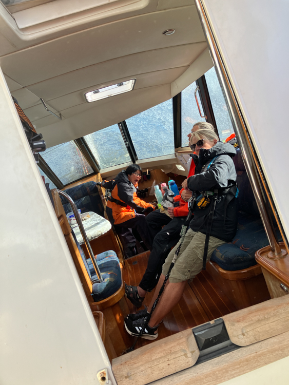
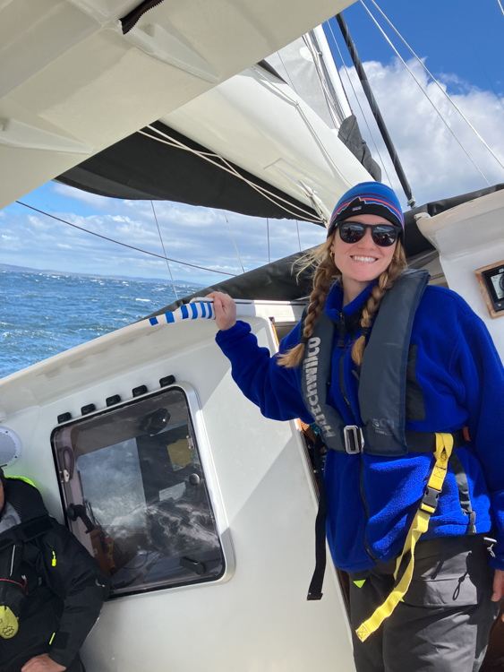
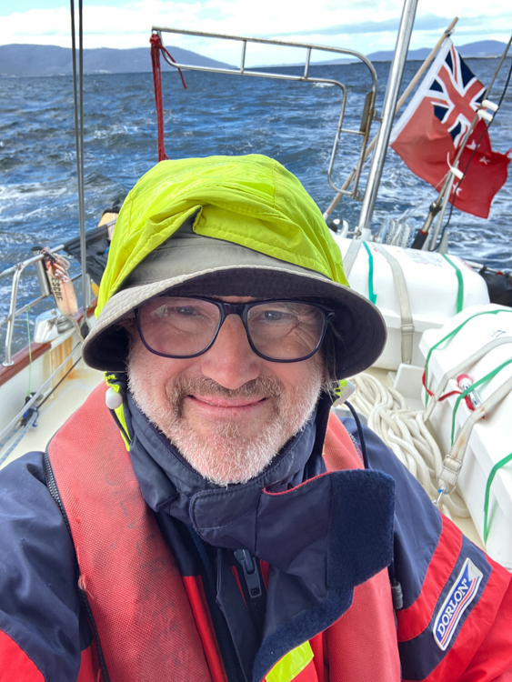
Lifting Silver Fern’s anchor and sailing out of Quarantine Bay, we emerged into 30+ knot winds gusting 40. With a reef in the main and flying the staysail we were still overpowered. Before long, the staysail developed a big hole and we quickly replaced it with a tough orange storm jib. Thankfully we’d replaced a broken reefing line yesterday, so we were able to put another two reefs in the main until she was able to balance on the autohelm, and then we had a fun and breezy sail down to Southport.
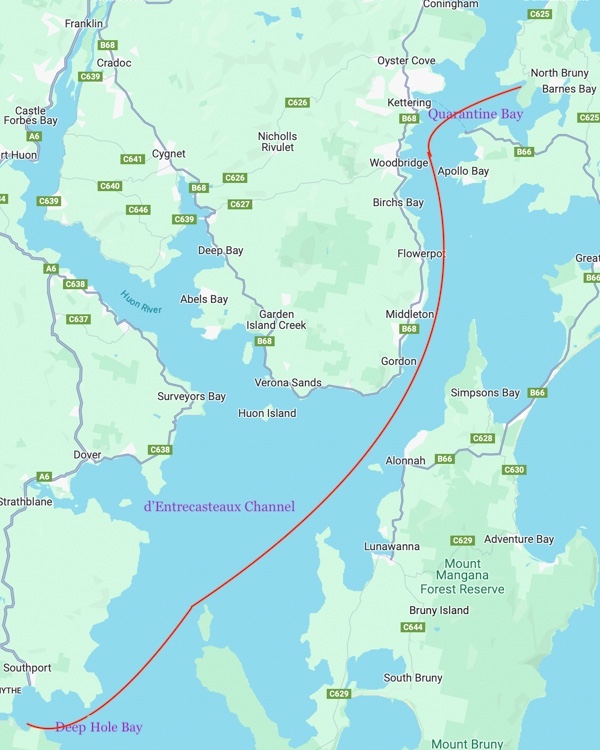
Deephole Bay, Southport
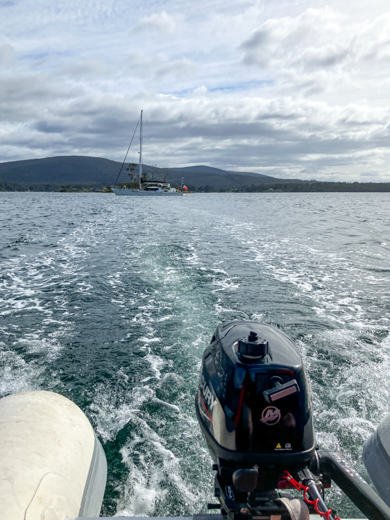
As we sailed round Pelican Island and dropped the anchor in Deephole Bay, Stuart noticed that Southport on the other side of the bay was home to the Southernmost Pub in Australia. There was nothing for it, then, but to winch the dinghy into the water and (after first remembering to replace the bung… whoops…) motor across.
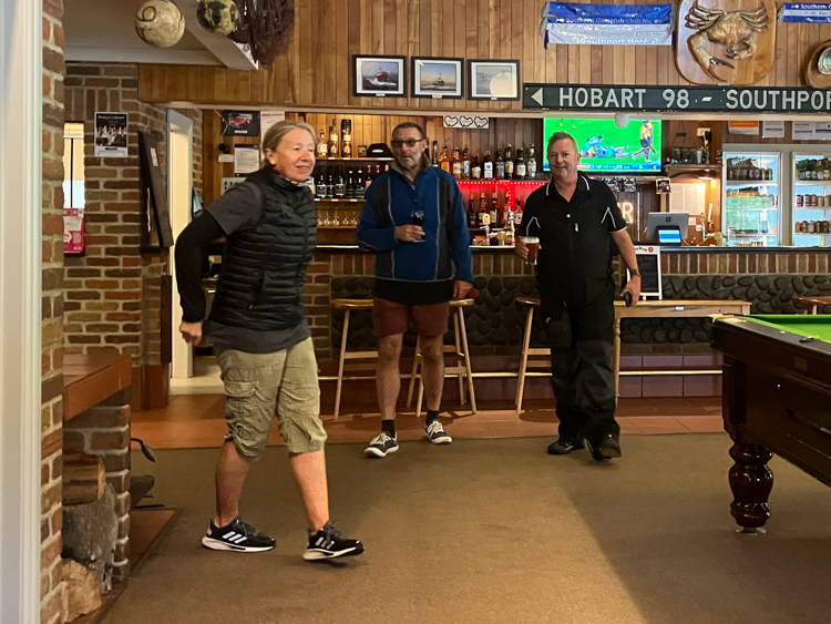
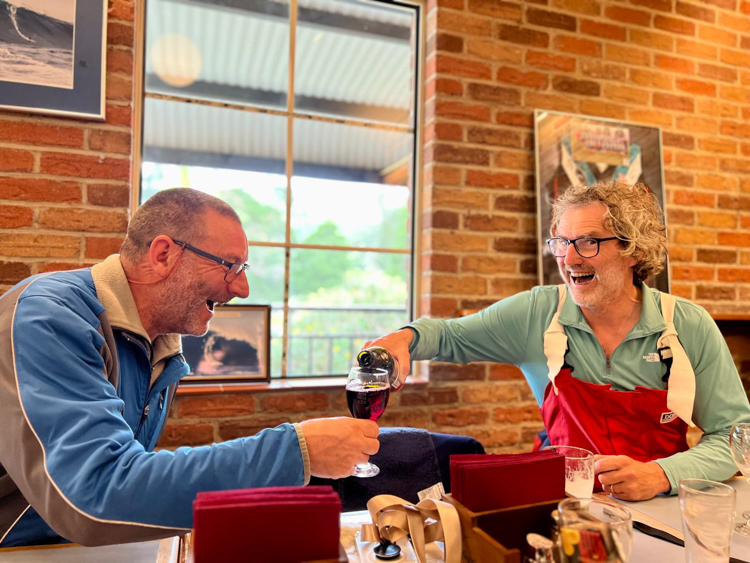
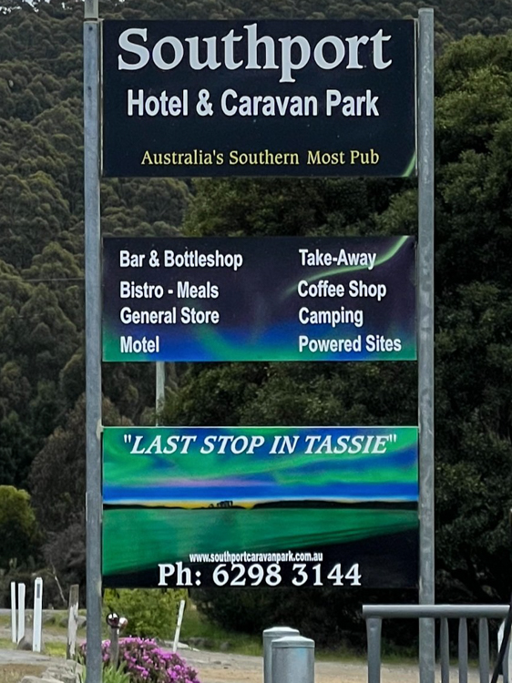
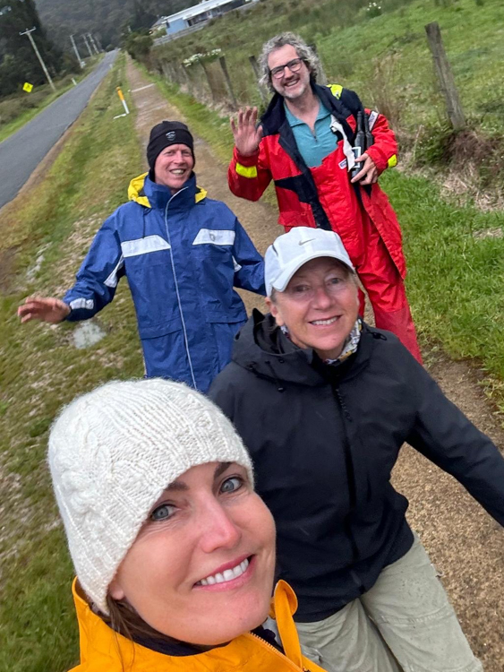
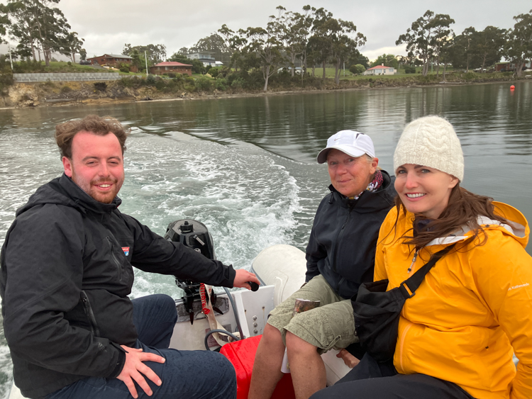
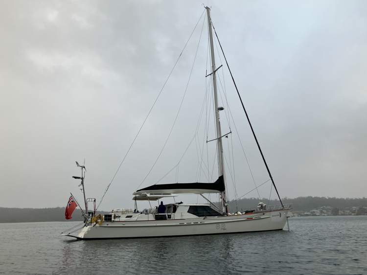
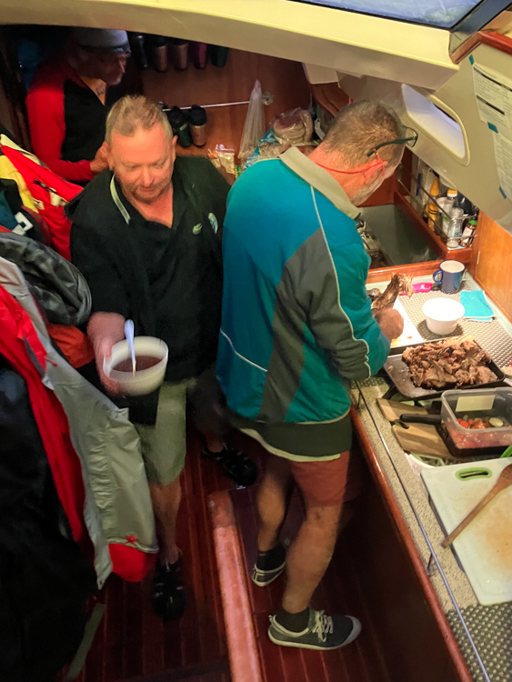
On arrival aboard Silver Fern, we were delighted to find that B Watch had had a lamb roasting in the oven all afternoon.

Southport Lagoon
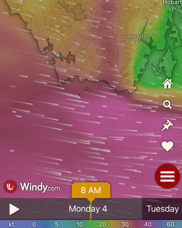
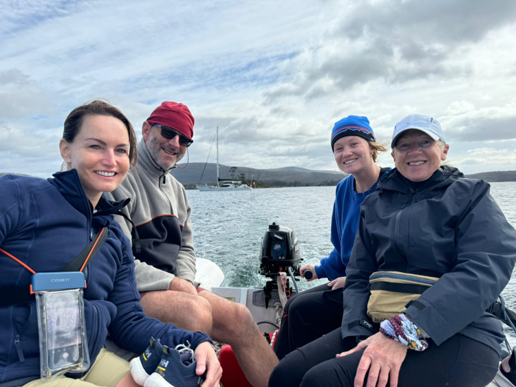
The next day dawned, and we eagerly checked the weather in the Southern Ocean. It was not looking fun at all, we’d have been beating directly into 40+ knots for our Westerly passage. The weather was fine here in Deep Pool Bay, though, so we hopped into the dinghy and went ashore to explore the local lagoon.
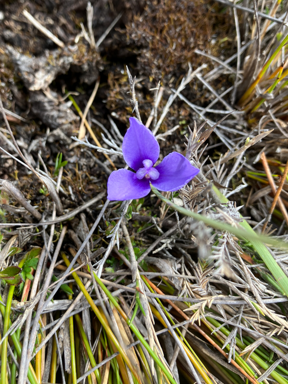
There was a path of sorts behind Deephole Bay beach, which wound its slightly muddy way between stringy gums, she-oaks and melaleuca. Native flowers were out in force, and there was evidence that the track was maintained at least in part by Tasmanian Devils.
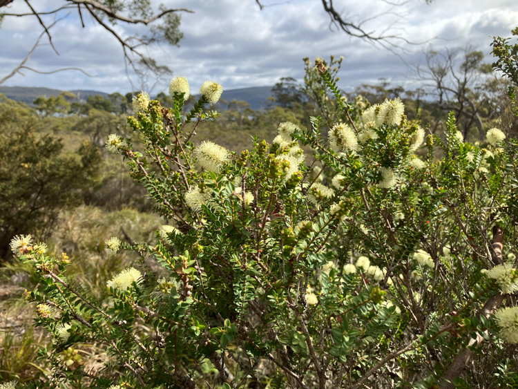
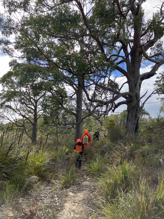
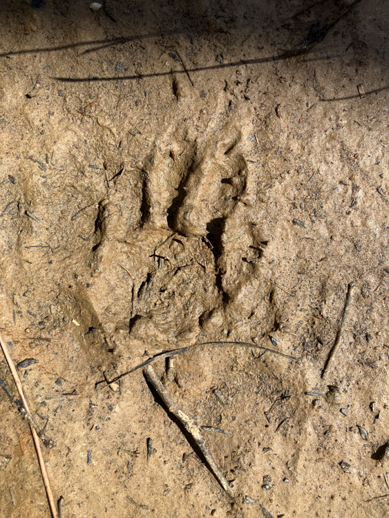
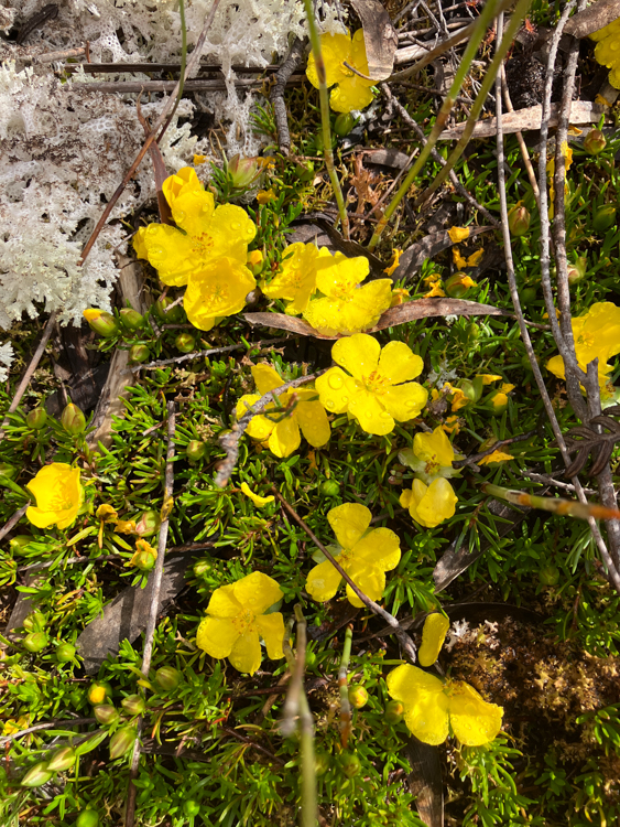
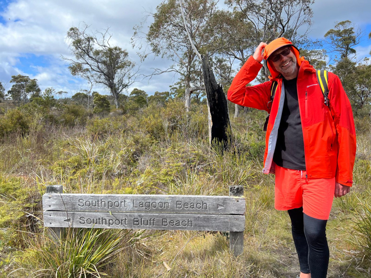
The crew had separated naturally into two groups, depending on whether they had arrived in the first or second dinghy shuttle. The path split at a marked sign, and the first group headed for the bluffs, whereas our group headed for the lagoon.
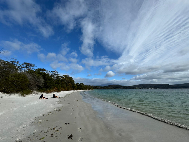
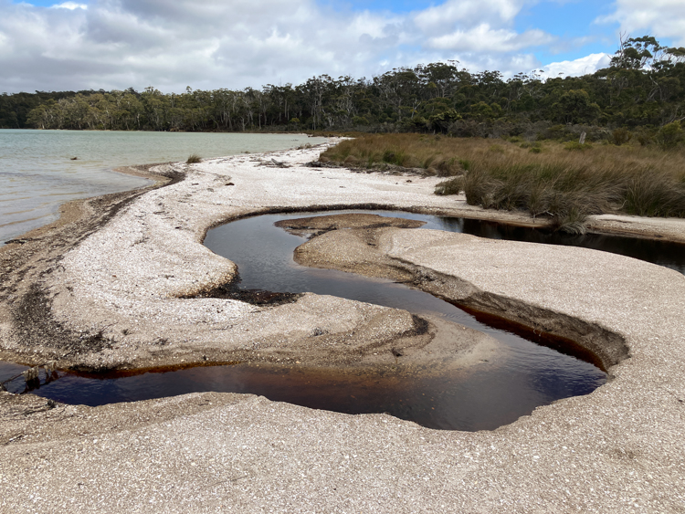
The lagoon was quiet and pretty, the water brackish and peaty and fenced around with a continuous beach of small shells. In the South, mountains loomed, with a hint of the bad weather behind them, but here at the lagoon it was warm and still.
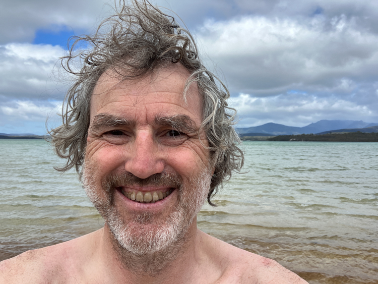
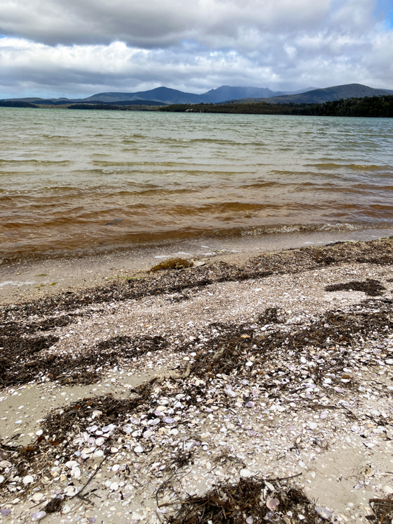
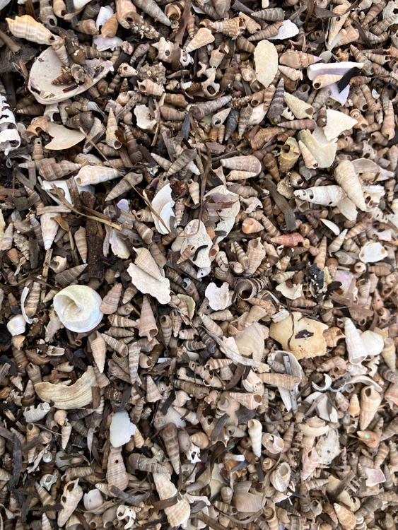
After returning to the boat for lunch, a few of us came back to the lagoon. Skipper John is always up for an expedition, and he and I mused that surely there must be a way to hike around the lagoon and over the dunes, meeting up with the path to the bluffs.
Without much preparation or forethought, off we went. The going was reasonable until we reached the dunes backing on to Southport Bluff Beach. There wasn’t any obvious way down through the tangle of densely packed trees, let alone up the other side, and we couldn’t even see the ground through the thick underbrush. Remembering the method that Tasmanian icons Tim Christie and Reg Williams used to forge the Three Capes Track, I hurled myself onto the top of the foliage, rolled down the hill and then crawled up through the tree tops until I reached the top of the dune. It wasn’t easy, but the view was worth it.
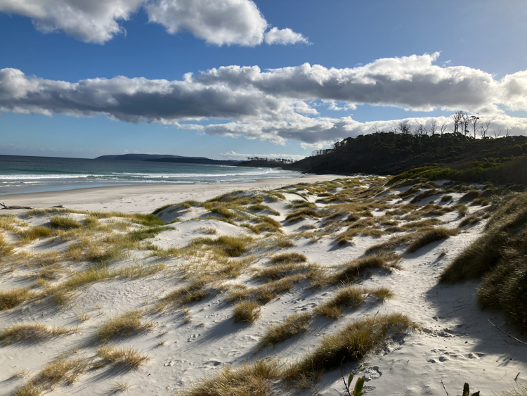
Safely on the beach, we reflected that the one thing that we hadn’t seen was any sign of the path from the bluff to the boat. We looked back at the dune, and really didn’t feel like retracing our steps to try to find it. But we were on one side of a peninsula, and we knew that the boat was on the other side, perhaps we should try walking cross-country over the middle. What could possibly go wrong?
The first part was easy, along a pretty beach. A small cliff rose up, but we skirted the edge of it, and found ourselves at the monument to the George III, a convict ship that sank here in 1838 with heavy losses. From the monument we reckoned that we should be able to find a path, but there was none visible, and we later found that this was because the monument has been closed to the public for some years, something that wasn’t apparent when approaching from our unusual direction.
So… faced with miles of peat bogs and thorny underbrush, and armed only with confidence and a cheerful demeanour, we set off.
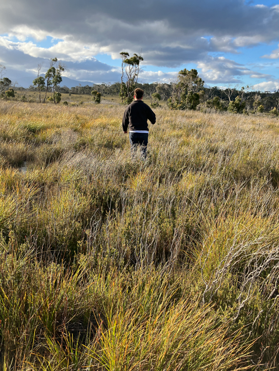
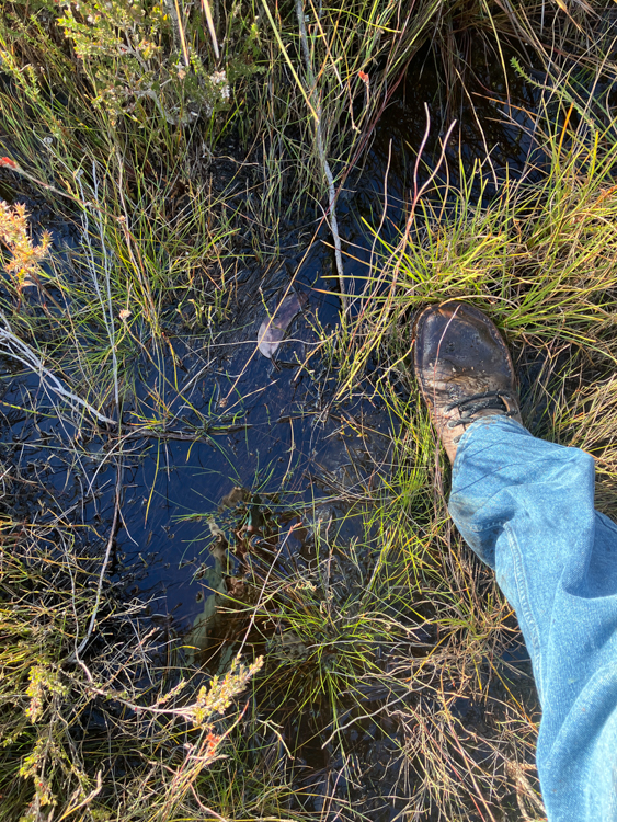
Visually, it looked like waist-high tussock grass. In detail, each tussock was defended by sharp woody brush, and separated by deep peaty puddles. We came to recognise the boggiest areas by the colour of the foliage, and yomped over ridge and gully, aiming for the treeline behind which we knew Silver Fern must lie at anchor.
Finally, weary and with aching thighs, we clambered up the final slope. John couldn’t wait, and forged ahead to enjoy the view from the top. I stumbled along in his wake and toiled my way up behind.
John was standing stock still, apparently admiring the view. “What do you see, young man?” I called out, as I topped the brow. Then we both broke down in helpless laughter; there was nothing ahead but yet another boggy expanse of tussock grass to yet another distant ridge.
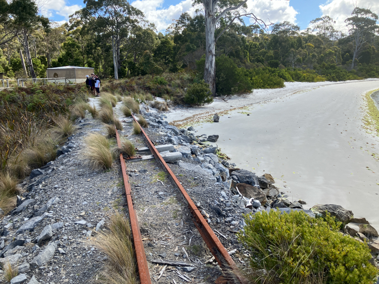
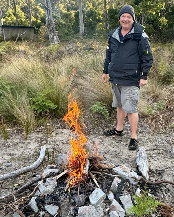
We did eventually make it across to the beach, where the rest of the crew had set up a sundowner fire near an old railway platform, part of a disused rail network designed to move limestone from Ida Bay quarries to vessels berthed in Deephole Bay.
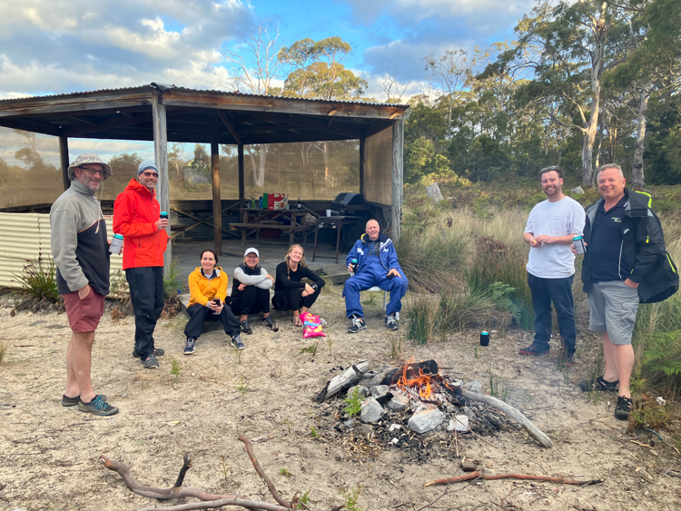
After a certain amount of beer and wine, we returned to the Silver Fern for dinner, and to check the wind forecast. We thought that we could see the hint of a tiny weather window opening up between two low-pressure systems spinning up from Antarctica. The picture wasn’t clear yet, but tomorrow we would move South again, edging closer to the Southern Ocean.
Ha ha ha!
An awesome adventure!