Back in 2012, we asked Matthew, a friend and neighbour who had access to useful machinery, if he would help us with bulldozing a road into our property. We asked him to make it as subtle as possible, just a winding bush-track through the forest to give us initial access, without materially changing the look and feel of the site. Matthew made us just what we wanted, a dirt track just perfect for humping camping gear in and out of the forest.

I had an idea in the back of my mind that some day we’d need to widen it to give access to construction machinery and to serve as our official Rural Fire Service access road, but for now this would do us just fine.
Since the “official” council road, Klynes Road, was merely a dotted line on a map rather than an actual graded thoroughfare, we also got Matthew to clear a line along its path up as far as our track entrance, adding a turning circle for delivery trucks, for when the time finally came to build something. Nobody else uses that end of Klynes Road, as it doesn’t go anywhere, so we felt that nobody would mind.
Then we went travelling abroad for a number of years, and returned with a small child. This re-focussed our minds on the building project, which had heretofore been a nebulous plan that we would think about somewhere in the future.
The first step was to evaluate what had happened to our property in the intervening six years. Was the access track still open? Was the cleared building site still accessible? We hopped on a flight to Hobart and rented a small car with a child seat.
We had no idea what we might find, or even if we’d be able to find the track. Nature can reclaim a lot of land in six years! This video records our arrival.
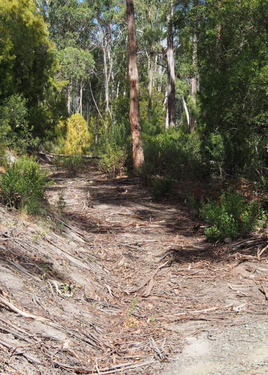
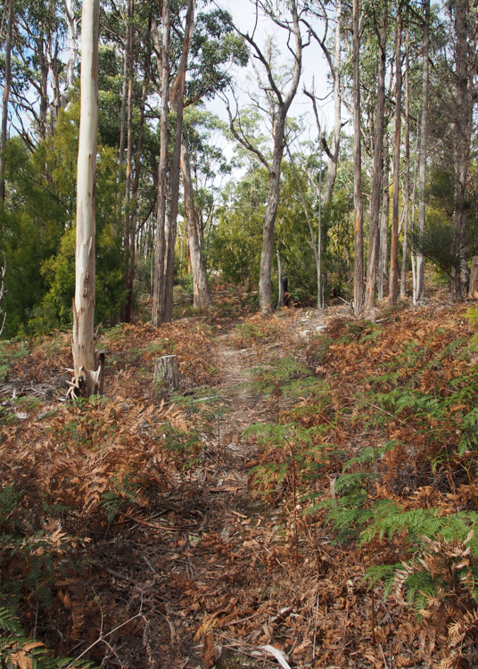
The track was still there, overgrown with ferns in places, and obstructed by fallen branches and the occasional tree. We cleared it all away, but found that the compacted mud of the track bed had eroded in places to reveal a lumpy surface of loose sand, projecting tree roots and slippery stumps, and there was no chance of getting our two-wheel-drive rental vehicle up there. We did come across a flat hard-standing that had been built by a gate to our nearest neighbours’ property (the farm on the other side of Klynes Road), a gate which hadn’t even been there six years ago. Now that we’d extended Klynes Road as far as our boundary, there was no reason why our neighbours shouldn’t make use of it, and they clearly had. It made a useful place to park the car, while we unloaded.
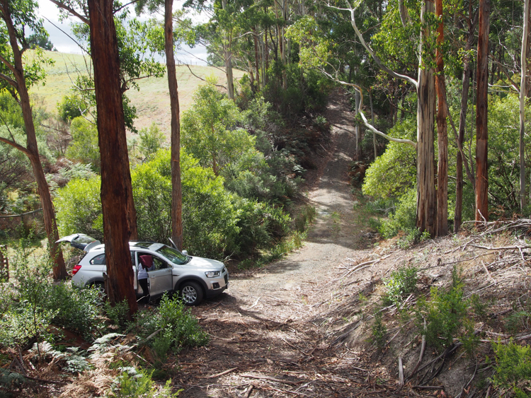
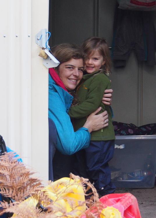
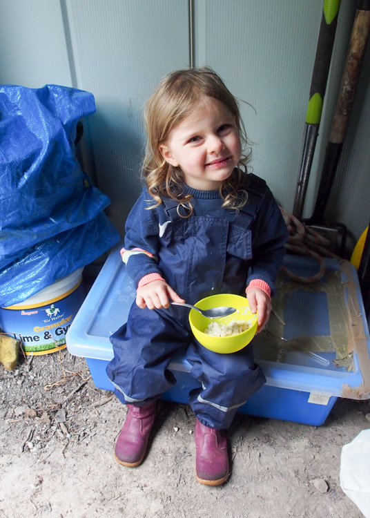
Our storage shed, now six years old, was still standing on firm foundations, with all of our camping gear refreshingly un-nibbled by the local wildlife. After moving out the bulkiest items, we used the shed as a rain shelter for cooking and eating. Berrima, age 3, instantly fell in love with the forest, and with the whole idea of bush camping.
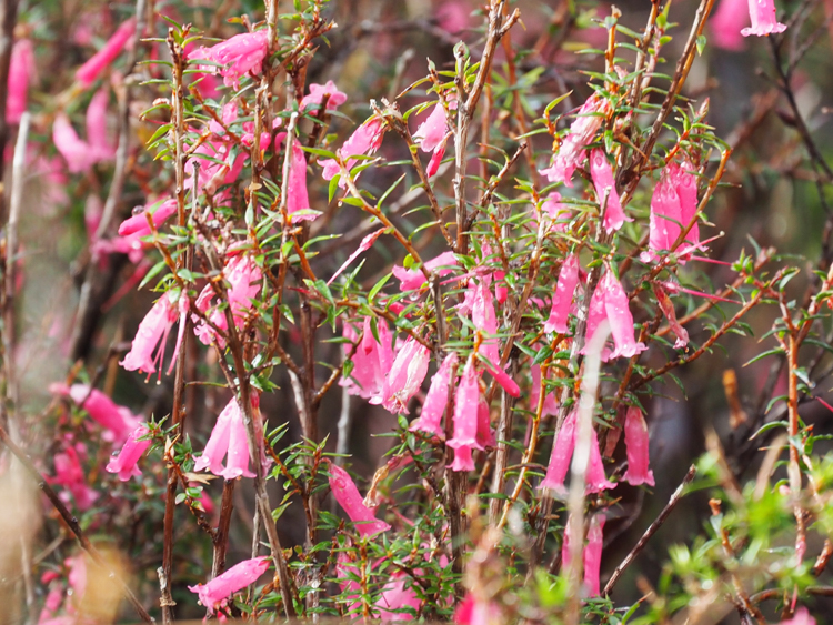
I had been worried that we would need to have the building site itself cleared again, but in fact it looked much the same as we’d left it six years earlier. I had deliberately left the tall trees standing while clearing away the scrub and litter, and I guess that’s the advantage of dry sclerophyll forest; all of nature’s action is far up in the tree canopy, and nothing much happens on the ground. There was just some Common Heath, a pretty but slightly prickly flowering native, and some bracken under the sheltering native cherry trees.

Having established that everything was fine with our forest, we went back to work. A year went by, while we worked on contracts far away in Queensland and in the Australian Capital Territory. In the evenings, though, we planned and plotted ways to fund and build our final home.
Doing our research and due diligence, I became aware that the Rural Fire Service regulations had changed. When we’d put in our original access track, the requirement had been a maximum slope of 1 in 4; now the legislation had been upgraded to no steeper than 1 in 5.5 and at least 4 metres wide. Before we would be permitted to live in any planned house, we needed to build a new road.
I commissioned a surveyor to provide us with a contour survey of the site and track. This confirmed that not only the track but also the final rise of Klynes Road was too steep, and the surveyor went back to research the slopes further downhill. Once this was done, I plugged his figures into a GIS program, and then spent several months trying to combine the often contradictory information from this and our previous surveys, mud-map sketches, and paper documentation, to form a coherent picture of our site.
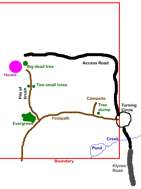
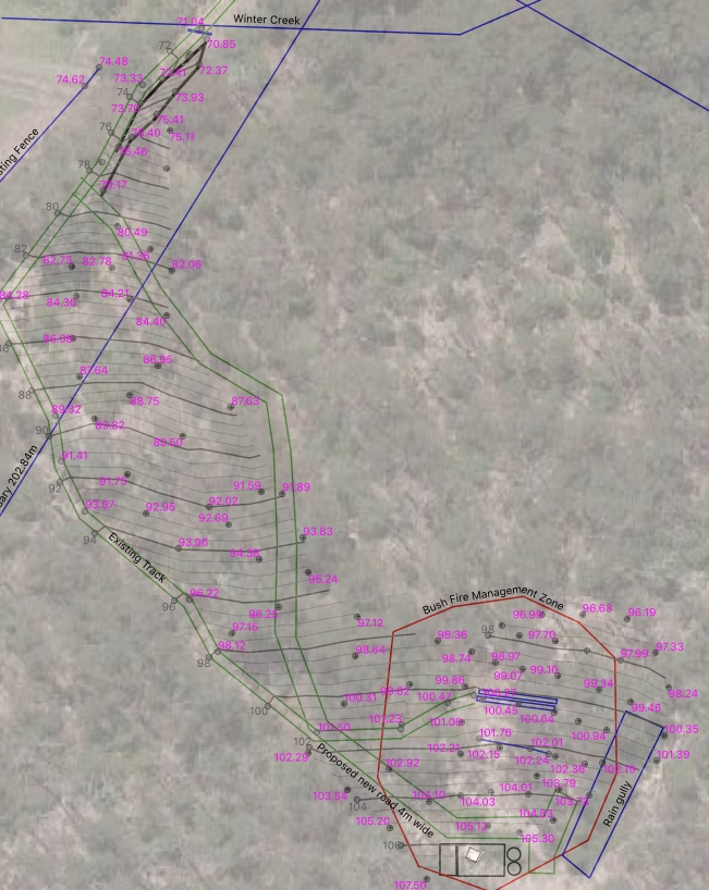
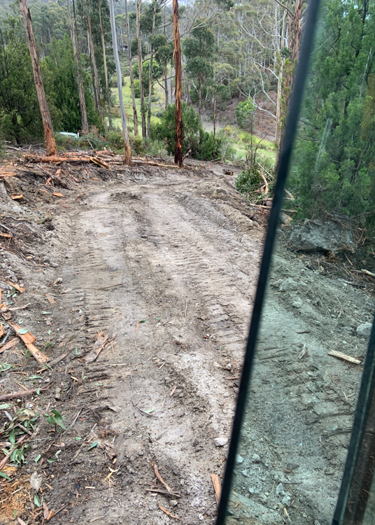
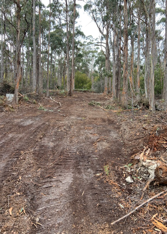
Poring over the numbers, I mapped out a potential contour route for an access road that would meet fire regulations, would be strong and wide enough to take heavy construction vehicles, and yet wouldn’t spoil the feeling of arriving at a remote bush block. In the 2019 site plan to the right above, you can see the wide green road skirting the Easterly limit of the contour lines.
The map is, of course, not the territory. For all I knew, there might be stands of important trees that I would not want to see felled, or other surprises that could only be determined on the ground. Since I was still working far away in Canberra, I also needed to find somebody with the necessary equipment and experience to get the job done in my absence. I boarded a flight to Hobart.
As luck would have it, it was pouring with rain that weekend, although this had brought the Common Heath into bloom across the entire 14 acres, which was quite beautiful.
I had intended to camp on the land, but instead elected to stay in a local B&B that had the advantage of heating and the internet. My rental car, a tiny hatchback, was obviously never going to make it up our track, but I figured that I would load it up with surveying equipment, stop short on the final drop of Klynes Road down to our creek, and hump in my gear on foot. I was quite surprised to discover that our neighbours had, in the act of putting in a boundary fence, extended Klynes Road right past our property and up over the next hill.
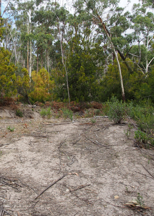
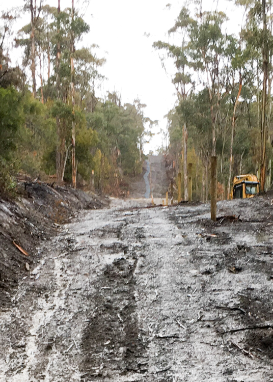
I had a rare old time stomping around in the mud, translating my mapped intentions onto the ground, and finding that yes indeed there was a slightly better route through the timber, one which avoided felling some of the older trees. I spray-painted and marked the route, while wondering who I was going to find to do the actual work.
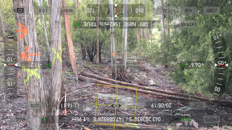
Back-tracking to our border with Klynes Road to check my figures against my boundary markers, I came across a large yellow digger parked on the fence-line of the farm on the other side.
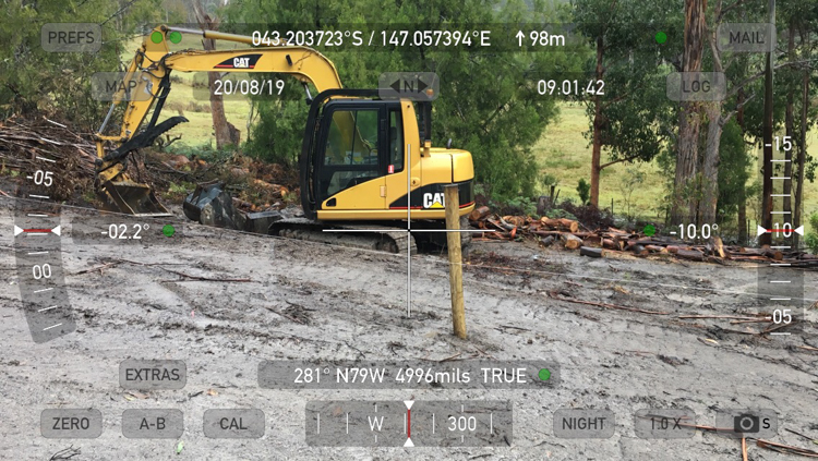
Aha! I thought, and rang the neighbour whose fence this was, and before very long was in contact with the Dan, the Cat’s owner, who agreed that it made perfect sense for him to work on my project once he’d finished the fence-line, since his machinery was already on site.
Soon enough, the road-building project was under way. Perhaps ironically, the very first thing that Dan did was to widen and re-open the old track, so that he could get his digger up to the site. Now we are the proud owners of not one, but two roads.
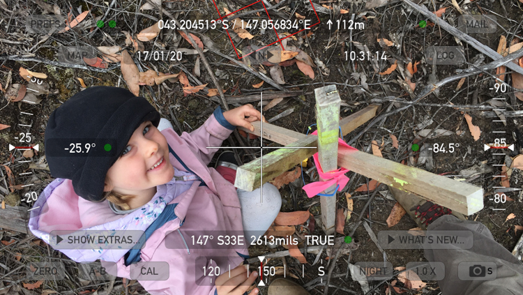
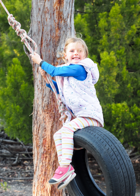
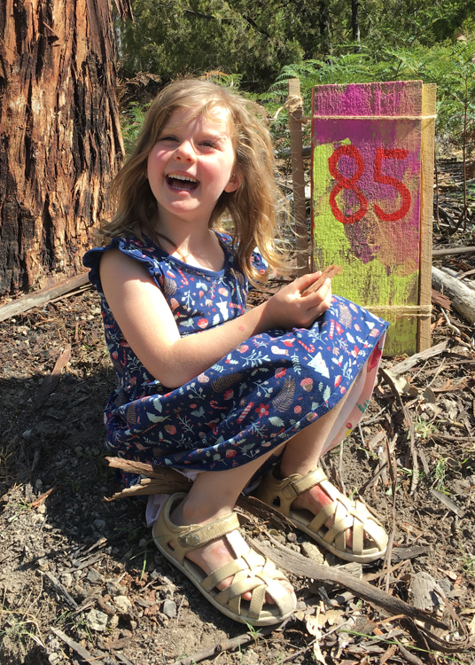
Things quietened down a bit until after Christmas, when Berrima and I arrived at the end of a road trip to escape the 2019 bush fires. We had a good laugh “going on an expedition” (looking for and re-marking our boundary markers), setting up a tyre swing, and doing some bush artwork.
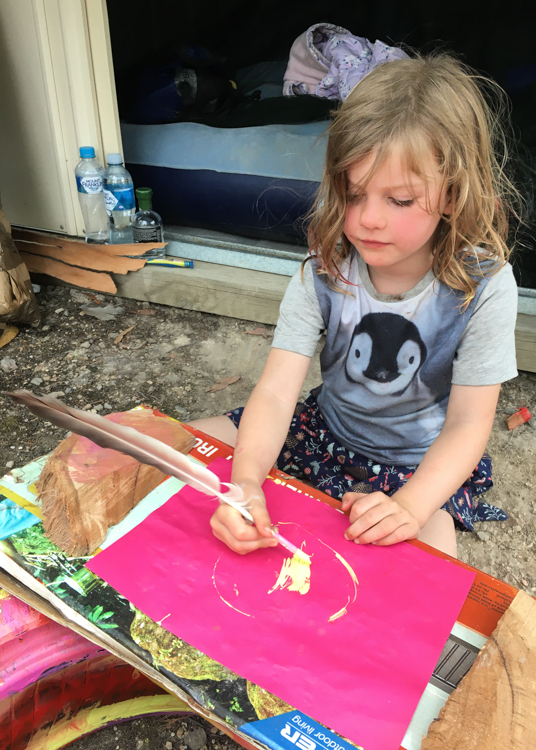
I also took the opportunity to finally clear the trees from the building site.
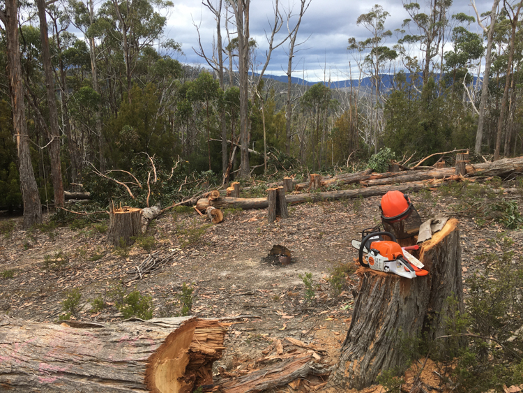
With actual physical labour and a changing skyline, it finally felt that I was achieving something. The site became brighter and sunnier, and the final shape of the view over the d’Entrecasteaux became more obvious. As well as Dan the digger, David the builder and Rodney the quarryman also visited, and we were able to point at things and make real decisions; it felt like we were making actual progress.
There is a bend at the bottom of the new road that is slightly too steep to drive up if the mud is wet. Even the Land Cruiser couldn’t get up in the rain.
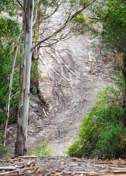
Between Dan and Rodney and I, we formulated a plan. Dan would do some more levelling to straighten out the bend as much as possible, and then Rodney would drop a 1.5 tonnes of 60-100mm aggregate next to the creek. Dan would level it, and then Rodney would drop a second load. Once this had been bedded in up to the top of the bend, Rodney reckoned that the gravel trucks could negotiate the bend by themselves, and lay the rest of the 13 tonne loads themselves using the tipper and dragged chains.
Today, the first load went down, and the creek crossing looks marvellous.

What an amazing property. Looks like a lot of work ahead but will be so worth it.